S
640 x 428 px
FREE
M
1920 x 1285 px
FREE
L
3872 x 2592 px
FREE

Upgrade to download up to 10 images at a time.

Standard license

This Yokohama is also a canal town photo can be used for personal projects. It can also be used for commercial projects in some cases. Read more

Image information
Créateur:Chaco
Title: Yokohama is also a canal town
Image ID: 213319
Downloads: 10
Model release: N/A
Property release: N/A
Categories:
trafic-transport / Yokohama is also a canal town
nature-paysage / Yokohama is also a canal town
logement-interieur / Yokohama is also a canal town
Yokohama is also a canal town, yokohama, canal, dirigeable, JPG
icon filter search

Antivirus

S
640 x 428 px
FREE
M
1920 x 1285 px
FREE
L
3872 x 2592 px
FREE

Upgrade to download up to 10 images at a time.

Standard license

This Yokohama is also a canal town photo can be used for personal projects. It can also be used for commercial projects in some cases. Read more

Image information
Créateur:Chaco
Title: Yokohama is also a canal town
Image ID: 213319
Downloads: 10
Model release: N/A
Property release: N/A
Categories:
trafic-transport / Yokohama is also a canal town
nature-paysage / Yokohama is also a canal town
logement-interieur / Yokohama is also a canal town

Similar free stock photos

View all

Similar free illustrations

View all
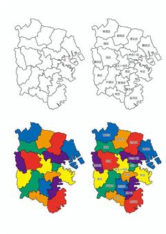
Map of Yokohama City (division)
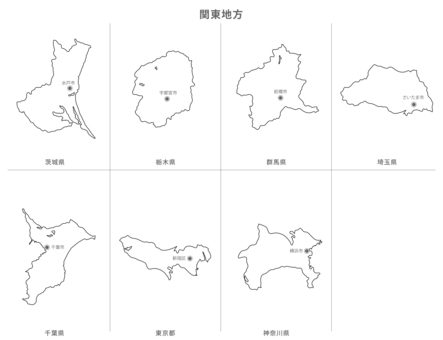
Blank map-Kanto region metropolitan area set-prefectural office location
Blank map-Kanto region prefecture set-prefecture name / prefectural office
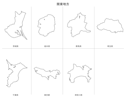
Blank map-Kanto region prefecture set-with prefecture name
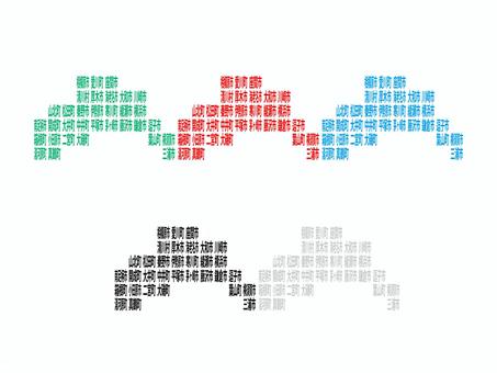
Map of Kanagawa Prefecture drawn with city and town names
神奈川県19市13町1村の地図
Blank Map-Japan-Entering Districts, Towns and Villages-Kanagawa Prefecture
Deformed map with municipalities_Saitama 01
Deformed map with municipalities_Chiba 01
Deformed map with municipalities_Gunma 01
Comments